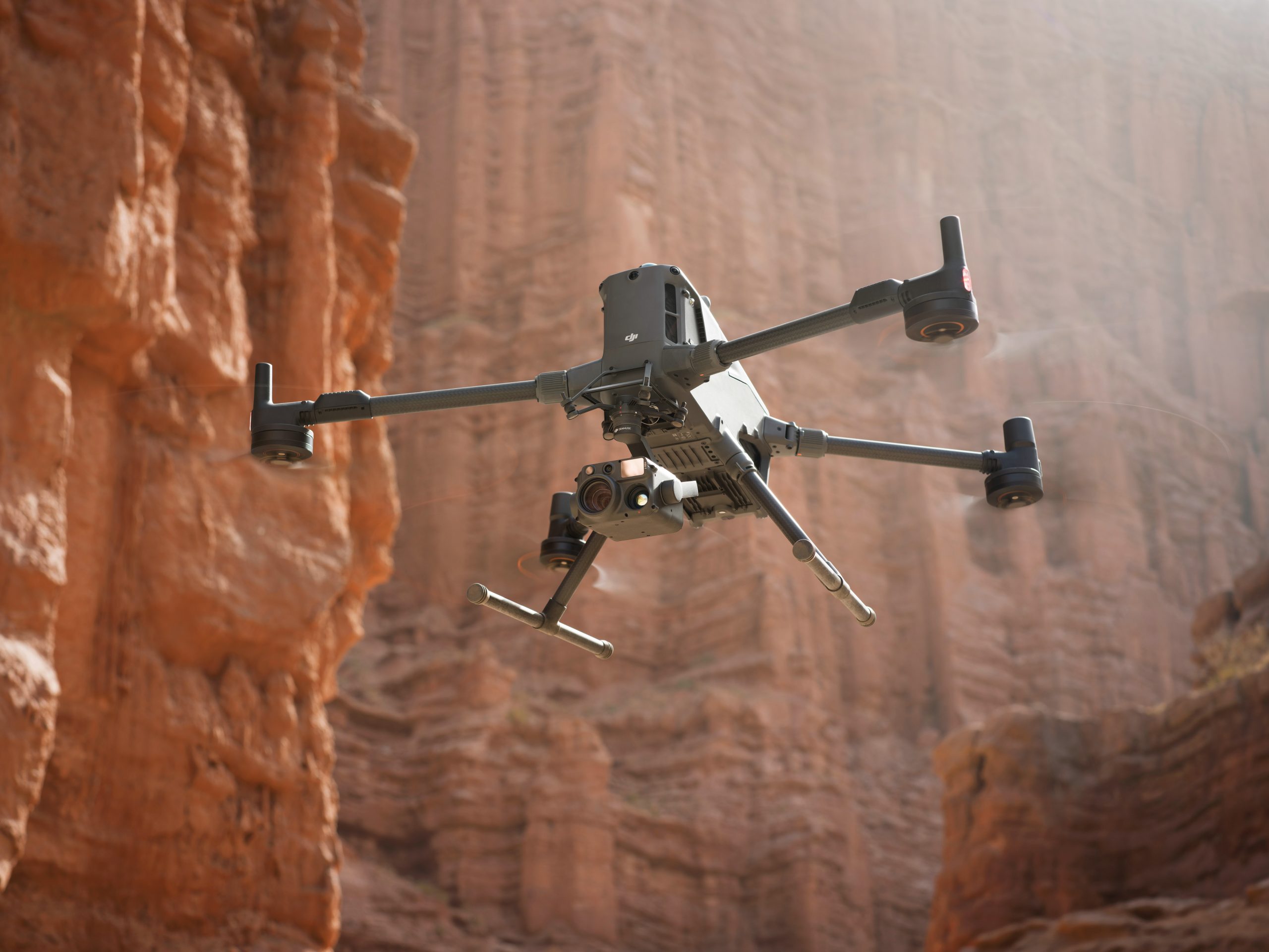
DJI’s enterprise drones empower Inspectahire to inspect complex structures, industrial assets, and remote environments safely and efficiently—without the need for scaffolding or shutdowns. Equipped with thermal, visual, and LiDAR payloads, DJI drones enable faster data capture, real-time analysis, and smarter decision-making across critical operations.
Designed for maximum stability, flight endurance, and imaging accuracy, DJI’s UAV systems are transforming how we inspect everything from flare stacks to wind turbines. With seamless software integration and intelligent flight automation, these aerial tools reduce risk, lower costs, and deliver actionable insight from above.
Flexible Payloads
Safe Operation
Trusted Results
WHY CHOOSE DJI
Performance That Elevates Every Inspection
Advanced Imaging Capabilities
Thermal, zoom, and 4K video capture for accurate condition assessment in real time.
Long-Range & Extended Flight Time
Cover large sites efficiently with powerful batteries and stable flight systems.
Obstacle Avoidance & Safety Systems
Smart sensors and AI features protect assets, personnel, and the drone itself.
Industry Applications
DJI’s drone technology is essential to modern inspection workflows, allowing access to areas where traditional methods fall short.
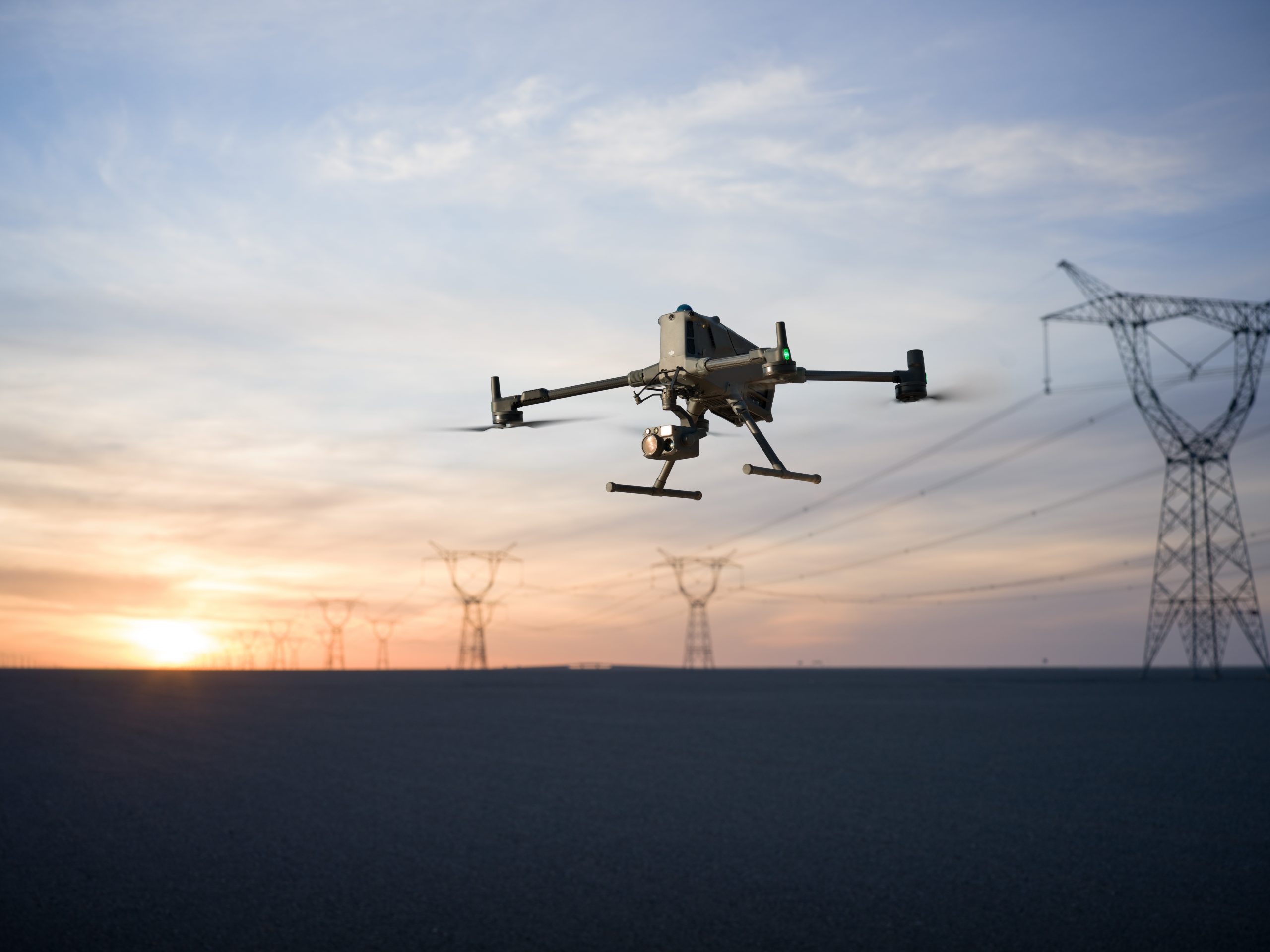
Inspect high-voltage power lines, substations, and wind turbines without interrupting operations. DJI drones offer close-up visual and thermal imaging for asset condition monitoring and fault detection.
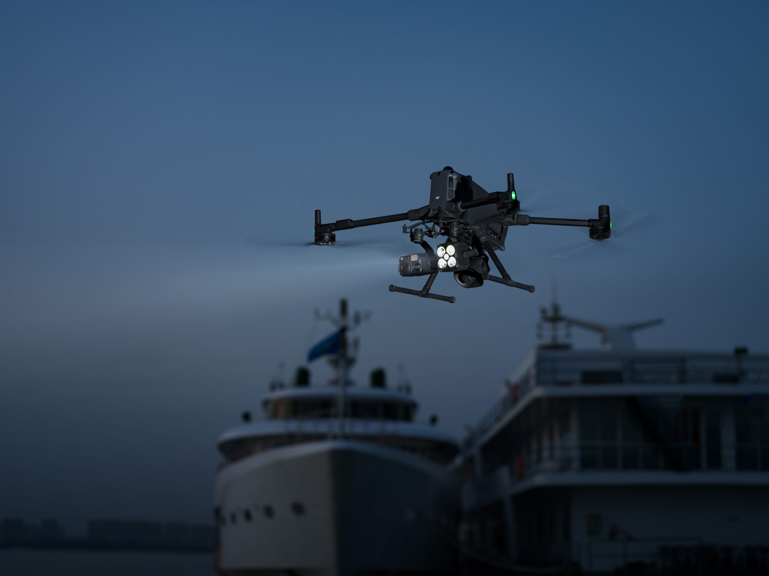
Safely survey flare stacks, pipelines, and offshore platforms. Reduce risk and improve response times with high-resolution aerial footage and real-time streaming capabilities.
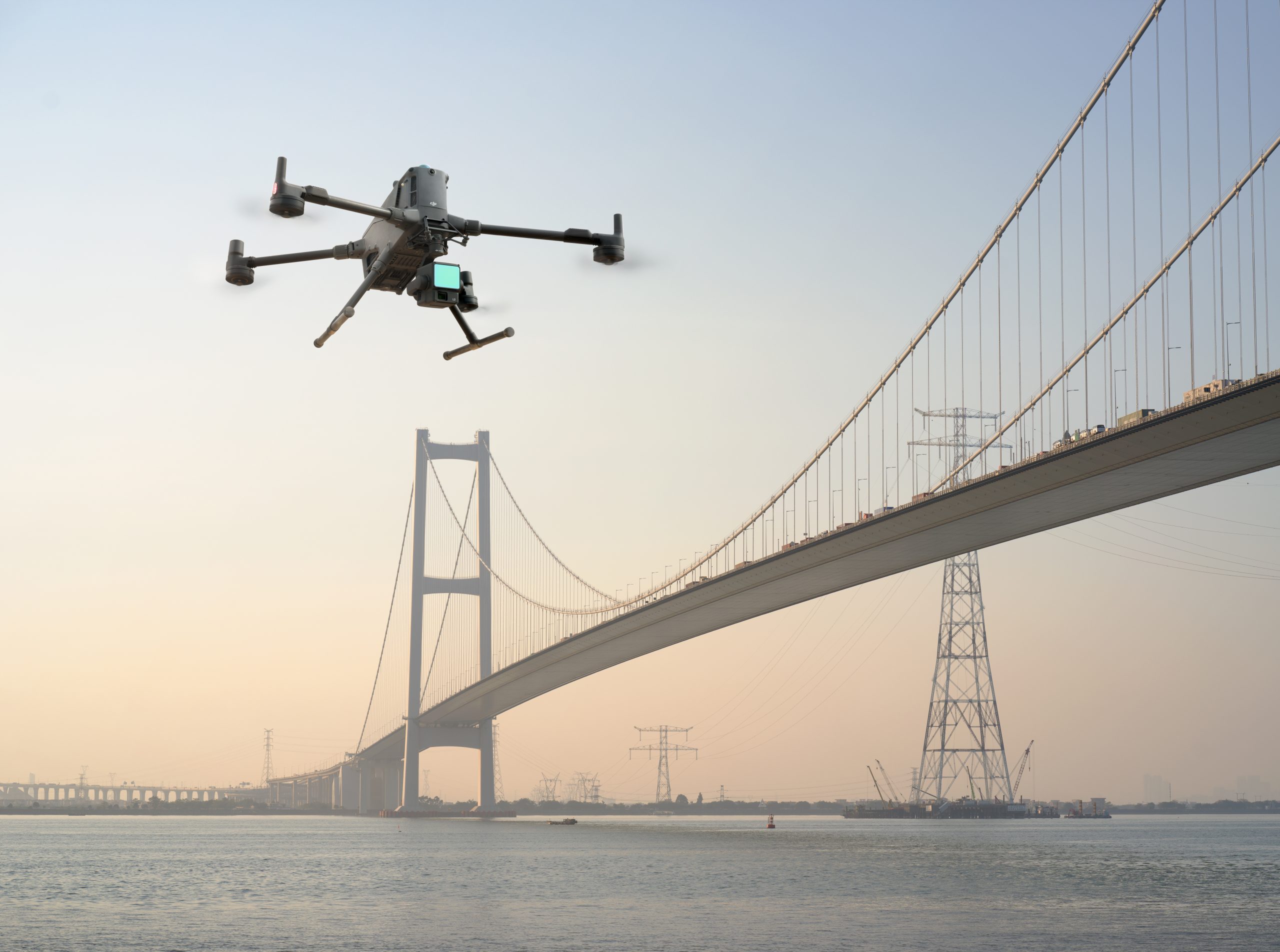
Monitor progress, detect structural issues, and map large-scale sites with photogrammetry and LiDAR-equipped UAVs. Drones streamline inspections for bridges, towers, and roofs.
Track erosion, flooding, and land shifts from the air. DJI drones provide quick access to changing landscapes with high-resolution orthomosaics and terrain data.
Need the right tools for the job? Get in touch.
Contact our experts to find the right DJI solution for your application.