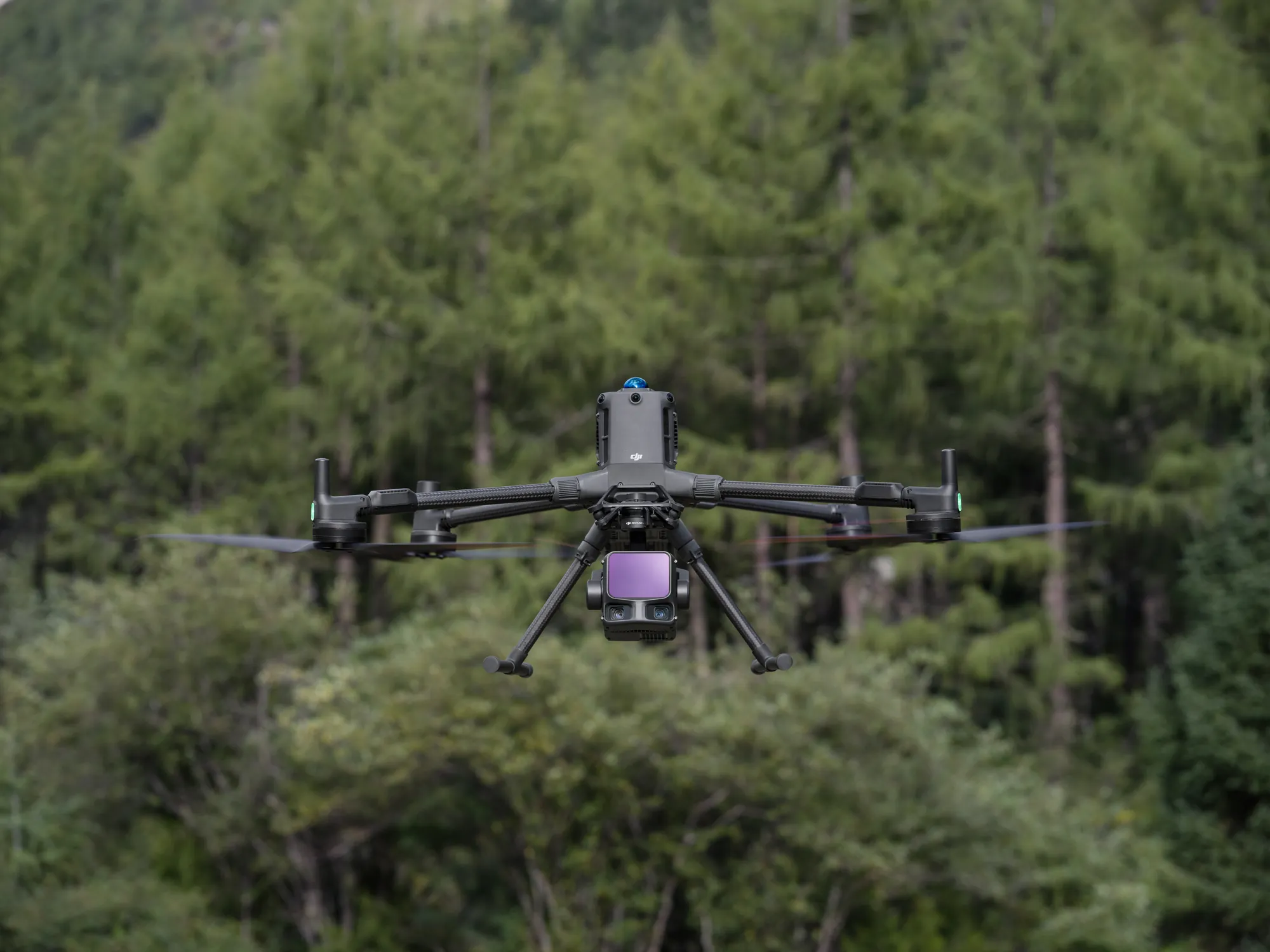
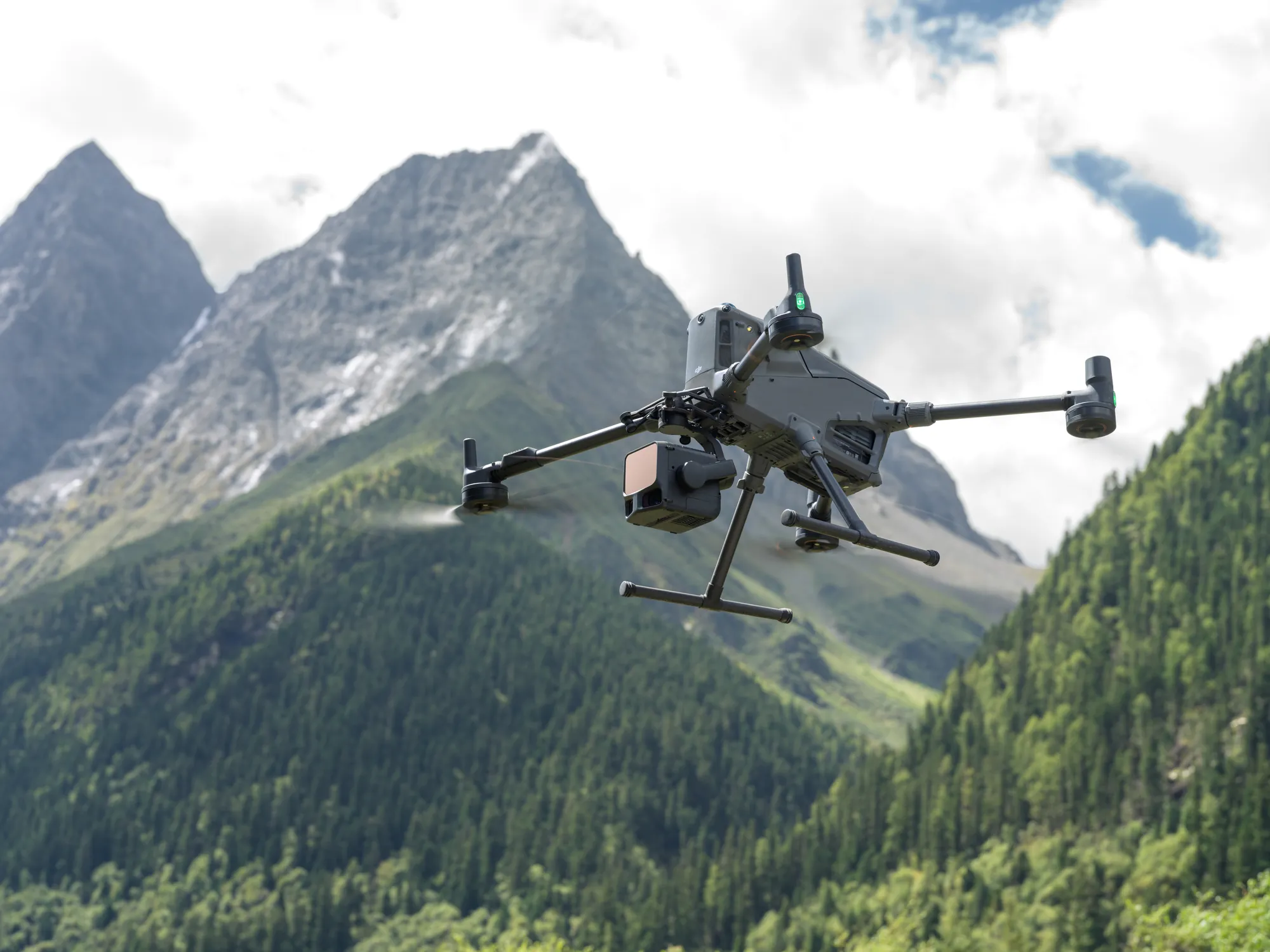
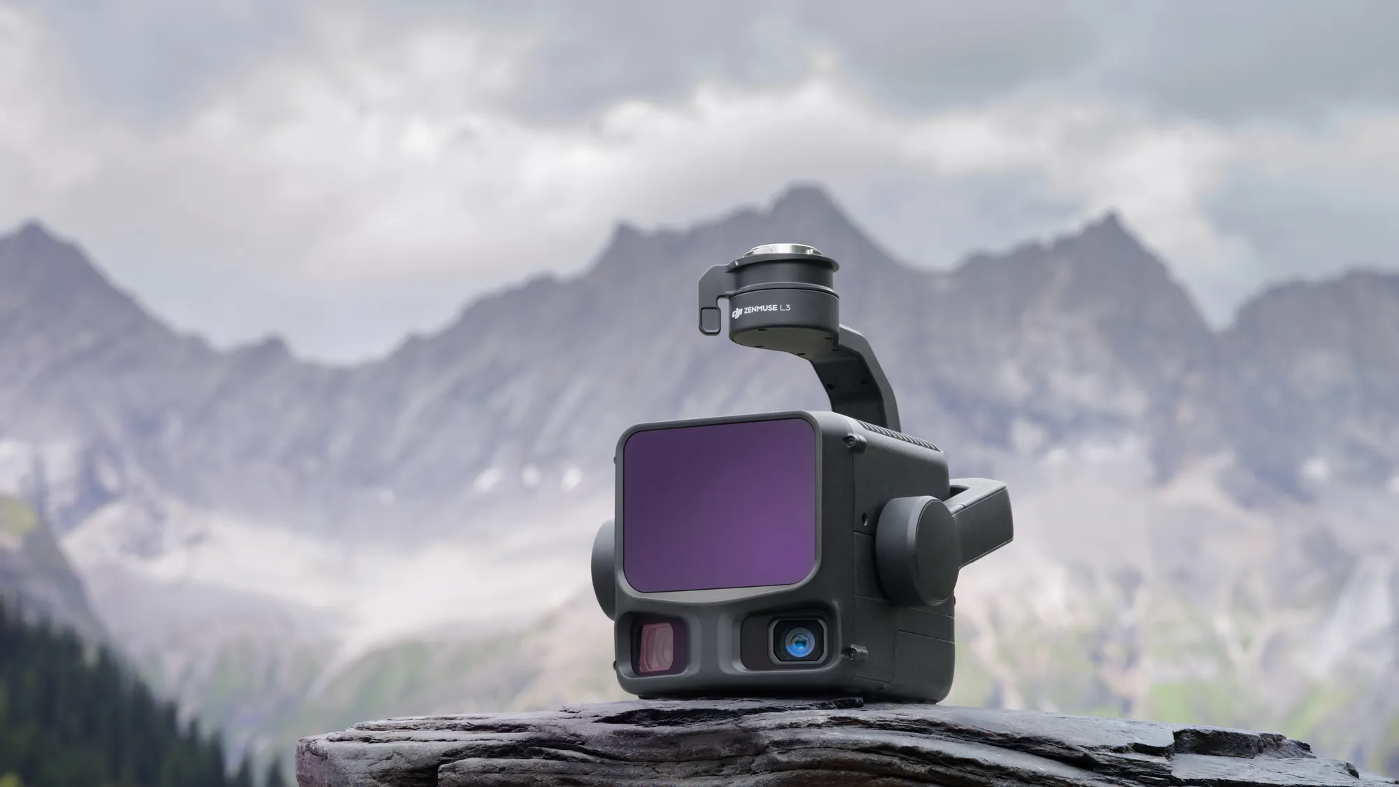
1535 nm Long-Range LiDAR
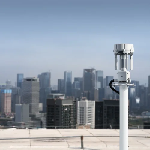
- Long-range 1535 nm aerial LiDAR system
- Maximum detection range of 950 m at the center and 650 m at the edge with 10% reflectivity
- Maximum scanning field of view: 80° × 80°
- Laser beam divergence: 0.25 mrad (1/e²)
|
Dual 100 MP Mapping Cameras
- Dual 4/3 CMOS RGB mapping camera system
- Supports both 100 MP and 25 MP image capture
- Wide 107° horizontal field of view
- Minimum photo interval of 0.5 seconds at 25 MP and 1 second at 100 MP
|
High-Accuracy Surveying
- Vertical accuracy of 3 cm and horizontal accuracy of 4 cm at 120 m
- Vertical accuracy of 5 cm and horizontal accuracy of 7.5 cm at 300 m
- LiDAR ranging accuracy of ±10 mm at 300 m with 80% reflectivity
- Ranging repeatability of less than 5 mm (1σ)
|
High-Precision POS System
- Integrated high-precision position and orientation system
- Yaw accuracy: 0.02°
- Pitch and roll accuracy: 0.01°
- Accuracy values specified as RMS 1σ after post-processing
|
High Penetration Performance
- Adjustable laser pulse emission energy
- Supports up to 16 returns for detailed point-cloud collection
- Designed to capture terrain beneath vegetation and complex surfaces
- Linear, Star-Shaped and Non-Repetitive scanning modes
|
Up to 100 km² per Day
- Single-flight coverage of up to 10 km² at a typical altitude of 300 m
- Daily coverage of up to 100 km² at a typical altitude of 300 m
- Supports efficient large-area aerial surveying
- DEM and DOM data can be collected in a single flight
|
End-to-End Workflow
- Covers data acquisition, processing and application workflows
- Designed for use with DJI Terra and DJI Enterprise software
- Compatible with the D-RTK 3 Multifunctional Station
- Simplifies field operations and geospatial data delivery
|
Advanced 3D Reconstruction
- LiDAR and RGB fusion-based 3D reconstruction
- Supports Gaussian Splatting for LiDAR reconstruction
- Point-cloud semantic segmentation capabilities
- Combines detailed imagery with high-density LiDAR data
|
Flexible Deliverable Formats
- Supports Digital Elevation Model output
- Supports Triangulated Irregular Network output
- Produces grids of points and contour data
- Multiple deliverable options for mapping, surveying and analysis
|